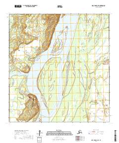
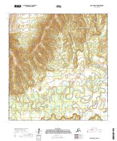
2017 Map of Holy Cross C-3 NE
USGS Topo · Published 2017About this map
Anvik occupies a critical position where the Anvik River meets the mighty Yukon River, serving as a focal point for aviation and river travel in this interior region. The landscape is defined by the braided channels of the Yukon, which frame notable landforms like Needle Island and Garden Island. This 2017 survey details the infrastructure supporting the local community, including the Anvik Airport and a small network of local thoroughfares such as Charlie Wolf Road and River Road. Rising above the riverbanks, Hawk Bluff provides a distinctive vertical landmark overlooking the Hawk Bluff Rd and the Park Road corridor. The geography recorded here illustrates the deep connection between the settlement and its surrounding waterways, which dictate the placement of roads like the Gravel Pit Access Road and the overall layout of the town.
Find a feature on this map
19 named features on this map. Tap any name to fly to it.
Don’t see what you’re looking for? This feature index may not catch every label — zoom into the map to look around manually.
Map Details
Editions of this 2017 Holy Cross C-3 NE Map
This is the sole edition of this map. No revisions or reprints were ever made.
Other maps of this area

1951 · Holy Cross
USGS Topo · 1:250,000

1952 · Holy Cross C-2
USGS Topo · 1:63,360

1952 · Holy Cross D-2
USGS Topo · 1:63,360

1952 · Holy Cross D-3
USGS Topo · 1:63,360

1952 · Holy Cross C-3
USGS Topo · 1:63,360

1952 · Holy Cross
USGS Topo · 1:250,000
2017 · Holy Cross D-3 SW
USGS Topo · 1:25,000
2017 · Holy Cross D-3 SE
USGS Topo · 1:25,000
2017 · Holy Cross C-3 SW
USGS Topo · 1:25,000
2017 · Holy Cross C-3 NW
USGS Topo · 1:25,000