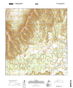
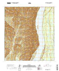
2017 Map of Holy Cross C-3 NW
USGS Topo · Published 2017About this map
The Anvik River dominates the southern landscape of this 2017 survey, winding in complex oxbows and secondary channels through the interior lowlands. This portion of the Yukon-Koyukuk Census Area exhibits a sharp contrast between the expansive river basin and the high ground to the northwest. In the upland terrain, Goblet Cr carves a distinct valley through several high ridges, illustrating the drainage patterns that feed the larger river system. The lack of infrastructure or modern settlements suggests a landscape defined by seasonal water levels and the natural movement of the river. Geologists and environmental researchers can trace the shifting course of the water as it meanders through the township boundaries of t30n r59w and t29n r59w.
Find a feature on this map
8 named features on this map. Tap any name to fly to it.
Don’t see what you’re looking for? This feature index may not catch every label — zoom into the map to look around manually.
Map Details
Editions of this 2017 Holy Cross C-3 NW Map
This is the sole edition of this map. No revisions or reprints were ever made.
Other maps of this area

1951 · Holy Cross
USGS Topo · 1:250,000

1952 · Holy Cross D-4
USGS Topo · 1:63,360

1952 · Holy Cross D-3
USGS Topo · 1:63,360

1952 · Holy Cross C-3
USGS Topo · 1:63,360

1952 · Holy Cross C-4
USGS Topo · 1:63,360

1952 · Holy Cross
USGS Topo · 1:250,000
2017 · Holy Cross D-3 SW
USGS Topo · 1:25,000
2017 · Holy Cross D-4 SE
USGS Topo · 1:25,000
2017 · Holy Cross C-4 SE
USGS Topo · 1:25,000
2017 · Holy Cross D-3 SE
USGS Topo · 1:25,000