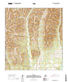
2017 Map of Holy Cross C-6 NE
USGS Topo · Published 2017About this map
Atchuelinguk River defines the southeastern corner of this landscape in the Kusilvak Census Area, winding through a terrain dominated by significant elevation changes and complex drainage patterns. The map is primarily characterized by its vast wetland systems and intricate contouring, illustrating the transition from upland peaks to low-lying marshes. The land is organized by the Public Land Survey System, with grid lines for Townships 29, 30, and 31 North across Ranges 65 and 66 West, though no named settlements or man-made structures are indicated within this specific quadrangle. This 2017 survey serves as a detailed study of the natural topography and the path of the river as it moves through the subarctic wilderness.
Find a feature on this map
7 named features on this map. Tap any name to fly to it.
Don’t see what you’re looking for? This feature index may not catch every label — zoom into the map to look around manually.
Map Details
Editions of this 2017 Holy Cross C-6 NE Map
This is the sole edition of this map. No revisions or reprints were ever made.
Other maps of this area

1951 · Holy Cross
USGS Topo · 1:250,000

1952 · Holy Cross C-6
USGS Topo · 1:63,360

1952 · Holy Cross C-5
USGS Topo · 1:63,360

1952 · Holy Cross D-5
USGS Topo · 1:63,360
1952 · Holy Cross D-6
USGS Topo · 1:63,360

1952 · Holy Cross
USGS Topo · 1:250,000
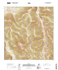
2017 · Holy Cross C-5 SW
USGS Topo · 1:25,000
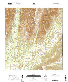
2017 · Holy Cross C-5 NW
USGS Topo · 1:25,000
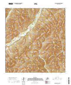
2017 · Holy Cross C-6 NW
USGS Topo · 1:25,000
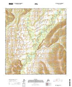
2017 · Holy Cross C-6 SE
USGS Topo · 1:25,000