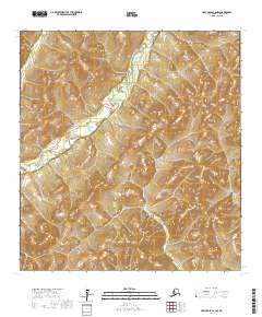
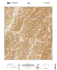
2017 Map of Holy Cross C-6 NW
USGS Topo · Published 2017About this map
East Fork Andreafsky River winds through the northern reaches of the Nulato Hills in this interior Alaskan landscape. This 2017 survey by the U.S. Geological Survey documents the intricate drainage patterns of the Kusilvak Census Area, illustrating how the river system carves through the undulating terrain of the upland country. The area is defined by its topographic complexity rather than human infrastructure, with the map focusing on the physical geography and public land surveying boundaries such as t31n r68w and t30n r67w. Researchers studying hydrologic shifts or the physical character of the Alaskan interior will find the detailed contouring of the river valley particularly valuable for understanding the natural movement of water through this unpopulated wilderness.
Find a feature on this map
8 named features on this map. Tap any name to fly to it.
Don’t see what you’re looking for? This feature index may not catch every label — zoom into the map to look around manually.
Map Details
Editions of this 2017 Holy Cross C-6 NW Map
This is the sole edition of this map. No revisions or reprints were ever made.
Other maps of this area

1951 · Holy Cross
USGS Topo · 1:250,000

1952 · Kwiguk
USGS Topo · 1:250,000

1952 · Kwiguk D-1
USGS Topo · 1:63,360

1952 · Holy Cross C-6
USGS Topo · 1:63,360

1952 · Kwiguk C-1
USGS Topo · 1:63,360
1952 · Holy Cross D-6
USGS Topo · 1:63,360

1952 · Holy Cross
USGS Topo · 1:250,000
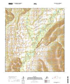
2017 · Holy Cross C-6 SE
USGS Topo · 1:25,000
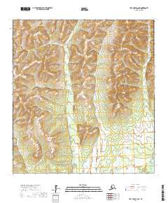
2017 · Holy Cross C-6 NE
USGS Topo · 1:25,000
2017 · Holy Cross D-6 SE
USGS Topo · 1:25,000