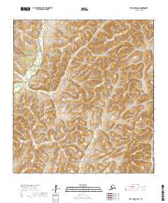
2017 Map of Holy Cross D-6 SE
USGS Topo · Published 2017About this map
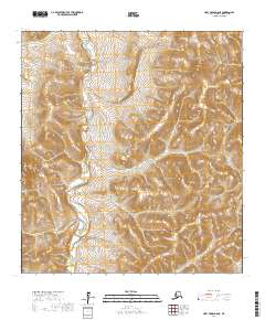
The East Fork Andreafsky River winds through the northwestern corner of this interior Alaskan landscape, which is defined by a dense series of upland ridges and valleys. This 2017 survey reflects the remote character of the Kusilvak Census Area, where human infrastructure is notably absent and the primary features of the land are topographical. The map captures the natural drainage patterns where numerous unnamed tributaries descend from high elevations into the river basin. Divided by the township lines of t32n r66w, t32n r65w, t31n r66w, and t31n r65w, the terrain is documented at a scale that reveals the fine-grained contouring of the region's wilderness, useful for understanding the hydrologic network that feeds into the Yukon River delta further downstream.
Find a feature on this map
5 named features on this map. Tap any name to fly to it.
Don’t see what you’re looking for? This feature index may not catch every label — zoom into the map to look around manually.
Map Details
Editions of this 2017 Holy Cross D-6 SE Map
This is the sole edition of this map. No revisions or reprints were ever made.
Other maps of this area

1951 · Holy Cross
USGS Topo · 1:250,000

1952 · Holy Cross C-6
USGS Topo · 1:63,360

1952 · Holy Cross C-5
USGS Topo · 1:63,360

1952 · Holy Cross D-5
USGS Topo · 1:63,360
1952 · Holy Cross D-6
USGS Topo · 1:63,360

1952 · Holy Cross
USGS Topo · 1:250,000
2017 · Holy Cross D-6 NW
USGS Topo · 1:25,000
2017 · Holy Cross C-5 NW
USGS Topo · 1:25,000
2017 · Holy Cross D-6 NE
USGS Topo · 1:25,000
2017 · Holy Cross C-6 NW
USGS Topo · 1:25,000