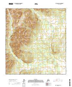
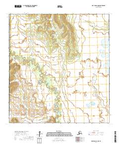
2017 Map of Holy Cross D-5 SE
USGS Topo · Published 2017About this map
The Bonasila River snakes through this corner of the Kusilvak Census Area, defining the lowland drainage pattern of a landscape dominated by extensive wetlands. In the northeast, the smaller Willow Cr cuts through the terrain, illustrating the intricate network of tributaries that feed into the larger river systems of the Alaska interior. The map reveals a clear distinction between the marshy flats and the rising elevations that mark the transition from river valley to upland slopes. This 2017 survey emphasizes the natural watercourse boundaries of t32n r64w and t31n r64w, offering a precise record of the hydrography and topography within the Holy Cross D-5 SE quadrangle without the presence of developed roads or human settlements.
Find a feature on this map
6 named features on this map. Tap any name to fly to it.
Don’t see what you’re looking for? This feature index may not catch every label — zoom into the map to look around manually.
Map Details
Editions of this 2017 Holy Cross D-5 SE Map
This is the sole edition of this map. No revisions or reprints were ever made.
Other maps of this area

1951 · Holy Cross
USGS Topo · 1:250,000

1952 · Holy Cross C-5
USGS Topo · 1:63,360

1952 · Holy Cross D-5
USGS Topo · 1:63,360

1952 · Holy Cross D-4
USGS Topo · 1:63,360

1952 · Holy Cross C-4
USGS Topo · 1:63,360

1952 · Holy Cross
USGS Topo · 1:250,000
2017 · Holy Cross D-4 NW
USGS Topo · 1:25,000
2017 · Holy Cross C-5 NW
USGS Topo · 1:25,000
2017 · Holy Cross D-5 NW
USGS Topo · 1:25,000
2017 · Holy Cross C-4 NW
USGS Topo · 1:25,000