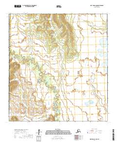
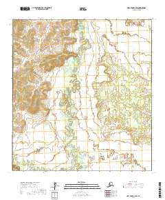
2017 Map of Holy Cross C-4 NW
USGS Topo · Published 2017About this map
The Bonasila River meanders through this portion of the interior, defining a landscape dominated by complex hydrological patterns and wetland systems. This 2017 survey shows the river's intricate oxbows and secondary channels as it flows near the administrative boundary between the Kusilvak Census Area and the Yukon-Koyukuk Census Area. To the south, Roberts Cr feeds into the drainage network, illustrating the typical alluvial character of the region. The map provides a clear look at the topographic relief of the surrounding uplands, contrasting the low-lying river basin with the higher ground of the neighboring townships. The lack of roads or established settlements emphasizes the wilderness character of the Yukon-Koyukuk region during the early 21st century.
Find a feature on this map
9 named features on this map. Tap any name to fly to it.
Don’t see what you’re looking for? This feature index may not catch every label — zoom into the map to look around manually.
Map Details
Editions of this 2017 Holy Cross C-4 NW Map
This is the sole edition of this map. No revisions or reprints were ever made.
Other maps of this area

1951 · Holy Cross
USGS Topo · 1:250,000

1952 · Holy Cross C-5
USGS Topo · 1:63,360

1952 · Holy Cross D-5
USGS Topo · 1:63,360

1952 · Holy Cross D-4
USGS Topo · 1:63,360

1952 · Holy Cross C-4
USGS Topo · 1:63,360

1952 · Holy Cross
USGS Topo · 1:250,000
2017 · Holy Cross C-5 SE
USGS Topo · 1:25,000
2017 · Holy Cross D-4 SE
USGS Topo · 1:25,000
2017 · Holy Cross C-4 SE
USGS Topo · 1:25,000
2017 · Holy Cross C-4 SW
USGS Topo · 1:25,000