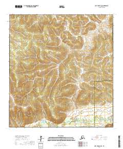
2017 Map of Holy Cross C-5 SE
USGS Topo · Published 2017About this map
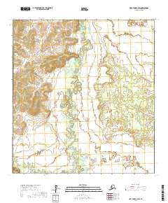
Hauk River flows through the southern reaches of this landscape, marking a significant transition in the terrain within the Kusilvak Census Area. The northern half of the survey area is defined by the headwaters of Roberts Cr, which drains a complex network of elevation contours. This 2017 survey reflects the administrative divisions of the Alaskan interior, showing the boundary line where the territory meets the Yukon-Koyukuk Census Area. The map is primarily an environmental study of hydrography and topography, documenting the natural drainage patterns of the river systems and the unnamed ridges that separate these two remote census divisions.
Find a feature on this map
9 named features on this map. Tap any name to fly to it.
Don’t see what you’re looking for? This feature index may not catch every label — zoom into the map to look around manually.
Map Details
Editions of this 2017 Holy Cross C-5 SE Map
This is the sole edition of this map. No revisions or reprints were ever made.
Other maps of this area

1951 · Holy Cross
USGS Topo · 1:250,000

1952 · Holy Cross C-5
USGS Topo · 1:63,360

1952 · Holy Cross B-5
USGS Topo · 1:63,360

1952 · Holy Cross C-4
USGS Topo · 1:63,360

1952 · Holy Cross B-4
USGS Topo · 1:63,360

1952 · Holy Cross
USGS Topo · 1:250,000
2017 · Holy Cross C-5 SW
USGS Topo · 1:25,000
2017 · Holy Cross C-5 NW
USGS Topo · 1:25,000
2017 · Holy Cross B-5 NW
USGS Topo · 1:25,000
2017 · Holy Cross C-4 SW
USGS Topo · 1:25,000