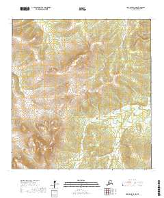
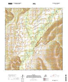
2017 Map of Holy Cross B-5 NW
USGS Topo · Published 2017About this map
Drainage patterns and topographic relief define this 2017 survey of the Alaska interior within the Kusilvak Census Area. The landscape is characterized by a series of significant elevations and creek systems, most notably the headwaters and winding course of Jackson Cr in the northern portion of the quadrangle. Further south, the terrain is marked by the intricate flow of Little Lockwood Cr, which traverses a broad basin between several prominent ridges. The map meticulously documents the legal boundaries of several townships, including t27n r65w and t28n r66w, illustrating the vast, unpopulated character of this wilderness area. The absence of roads or permanent structures underscores the remote nature of the region near the Yukon River delta, where the environment remains shaped primarily by natural hydrography and elevation.
Find a feature on this map
8 named features on this map. Tap any name to fly to it.
Don’t see what you’re looking for? This feature index may not catch every label — zoom into the map to look around manually.
Map Details
Editions of this 2017 Holy Cross B-5 NW Map
This is the sole edition of this map. No revisions or reprints were ever made.
Other maps of this area

1951 · Holy Cross
USGS Topo · 1:250,000

1952 · Holy Cross C-6
USGS Topo · 1:63,360

1952 · Holy Cross C-5
USGS Topo · 1:63,360

1952 · Holy Cross B-6
USGS Topo · 1:63,360

1952 · Holy Cross B-5
USGS Topo · 1:63,360

1952 · Holy Cross
USGS Topo · 1:250,000
2017 · Holy Cross C-5 SW
USGS Topo · 1:25,000
2017 · Holy Cross B-5 SW
USGS Topo · 1:25,000
2017 · Holy Cross B-5 SE
USGS Topo · 1:25,000
2017 · Holy Cross C-6 SE
USGS Topo · 1:25,000