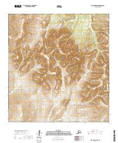
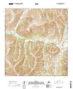
2017 Map of Holy Cross B-5 SW
USGS Topo · Published 2017About this map
Wolf Creek Mtn dominates the central landscape of this western Alaska quadrangle, situated in a region defined by complex drainage patterns and tundra. Numerous waterways such as Little Lockwood Cr, Wolf Cr, and Tom Gray Cr snake through the terrain, illustrating the hydrologic network within the Kusilvak Census Area. To the southwest, the Rolling Hills provide a distinct contrast to the more prominent mountain peak, marking a shift in the local topography. This 2017 survey details the Public Land Survey System grid, including boundaries for t26n r66w and t25n r65w, which are essential for understanding land divisions and remote parcels in this part of the state.
Find a feature on this map
9 named features on this map. Tap any name to fly to it.
Don’t see what you’re looking for? This feature index may not catch every label — zoom into the map to look around manually.
Map Details
Editions of this 2017 Holy Cross B-5 SW Map
This is the sole edition of this map. No revisions or reprints were ever made.
Other maps of this area

1951 · Holy Cross
USGS Topo · 1:250,000

1951 · Holy Cross A-5
USGS Topo · 1:63,360

1952 · Holy Cross B-6
USGS Topo · 1:63,360

1952 · Holy Cross B-5
USGS Topo · 1:63,360

1952 · Holy Cross A-6
USGS Topo · 1:63,360

1952 · Holy Cross
USGS Topo · 1:250,000
1952 · Holy Cross A-5
USGS Topo · 1:63,360
2017 · Holy Cross B-5 NW
USGS Topo · 1:25,000
2017 · Holy Cross B-5 SE
USGS Topo · 1:25,000
2017 · Holy Cross A-5 NW
USGS Topo · 1:25,000