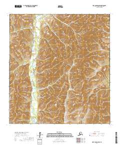
2017 Map of Holy Cross D-5 SW
USGS Topo · Published 2017About this map
Atchuelinguk River defines the western valley floor of this interior landscape, winding south through a corridor of wetlands and braided channels. This part of the Kusilvak Census Area is characterized by a dramatic transition from the river's low-lying drainage to the high, undulating ridges that dominate the eastern two-thirds of the quadrangle. In the north, Jackson Creek feeds into the marshy lowland, illustrating the complex hydrology of the Alaskan bush. The map depicts a territory largely untouched by permanent road infrastructure or settlements, instead emphasizing the natural land survey grid including t32n r65w and t31n r64w. The precision of the 20-foot contour intervals highlights the intricate drainage patterns and steep elevation changes typical of the Yukon Delta region's interior uplands.
Find a feature on this map
6 named features on this map. Tap any name to fly to it.
Don’t see what you’re looking for? This feature index may not catch every label — zoom into the map to look around manually.
Map Details
Editions of this 2017 Holy Cross D-5 SW Map
This is the sole edition of this map. No revisions or reprints were ever made.
Other maps of this area

1951 · Holy Cross
USGS Topo · 1:250,000

1952 · Holy Cross C-6
USGS Topo · 1:63,360

1952 · Holy Cross C-5
USGS Topo · 1:63,360

1952 · Holy Cross D-5
USGS Topo · 1:63,360
1952 · Holy Cross D-6
USGS Topo · 1:63,360

1952 · Holy Cross
USGS Topo · 1:250,000
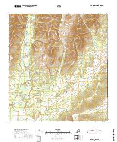
2017 · Holy Cross C-5 NW
USGS Topo · 1:25,000
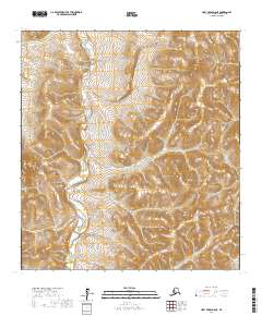
2017 · Holy Cross D-6 NE
USGS Topo · 1:25,000
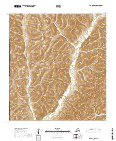
2017 · Holy Cross D-5 NW
USGS Topo · 1:25,000
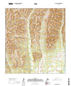
2017 · Holy Cross C-6 NE
USGS Topo · 1:25,000