
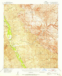
1949 Map of Holy Joe Peak
USGS Topo · Published 1952About this map
San Pedro River canyonlands and the deep incisions of Aravaipa Canyon define this territory in the late 1940s. The landscape is a network of remote ranching outposts and family camps, such as the Eskimazene Ranch, Painted Cave Ranch, and Kelleys Camp. This era reflects a period of transition, where former educational centers like Finch Sch and Vale District Sch are already marked as abandoned, suggesting a shift in local population or the consolidation of rural school districts.
Find a feature on this map
73 named features on this map. Tap any name to fly to it.
Don’t see what you’re looking for? This feature index may not catch every label — zoom into the map to look around manually.
Map Details
Editions of this 1949 Holy Joe Peak Map
2 editions found
Other maps of this area

1910 · Ray
USGS Topo · 1:62,500

1911 · Winkelman
USGS Topo · 1:125,000

1913 · Winkelman
USGS Topo · 1:125,000

1915 · Christmas
USGS Topo · 1:62,500

1917 · Christmas
USGS Topo · 1:62,500

1938 · Galiuro Mts
USGS Topo · 1:48,000

1938 · Klondyke
USGS Topo · 1:48,000

1943 · Galiuro Mts
USGS Topo · 1:62,500

1943 · Klondyke
USGS Topo · 1:62,500

1948 · Clark Ranch
USGS Topo · 1:24,000