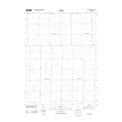
2013 Map of Holyoke NW
USGS Topo · Published 2013About this map
The High Plains landscape of Northeast Colorado is captured here at the Phillips Co line, defined by an expansive grid of section roads and seasonal watercourses. The local hydrology is marked by the meandering paths of Wildhorse Creek and the North Fork Frenchman Creek, which cut across the structured agricultural sections of t008n r045w and t009n r046w. While the terrain appears largely open, the presence of the Paoli Cem in the southwestern corner offers a fixed point for genealogical interest, serving as a quiet landmark amidst the surrounding farm roads like Co Road 28 and Co Road 19. This survey provides a precise look at the land use and drainage patterns of the region before more recent developments altered the rural character of the plains.
Find a feature on this map
25 named features on this map. Tap any name to fly to it.
Don’t see what you’re looking for? This feature index may not catch every label — zoom into the map to look around manually.
Map Details
Editions of this 2013 Holyoke NW Map
This is the sole edition of this map. No revisions or reprints were ever made.
Other maps of this area
1952 · Julesburg SW
USGS Topo · 1:24,000
1952 · Julesburg SE
USGS Topo · 1:24,000
1952 · Marks Butte
USGS Topo · 1:24,000
1954 · Sterling
USGS Topo · 1:250,000
1958 · Sterling
USGS Topo · 1:250,000
1962 · Holyoke NE
USGS Topo · 1:24,000
1962 · Haxtun East
USGS Topo · 1:24,000
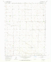
1962 · Holyoke NW
USGS Topo · 1:24,000
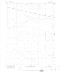
1971 · Paoli
USGS Topo · 1:24,000
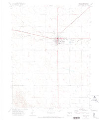
1971 · Holyoke
USGS Topo · 1:24,000