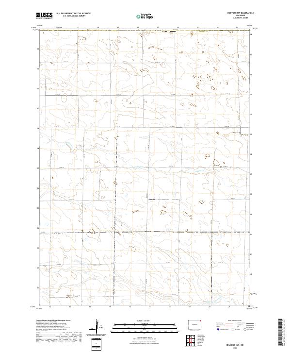
2022 Map of Holyoke NW
USGS Topo · Published 2022About this map
Paoli Cem serves as a primary point of interest for genealogists and local historians tracking the early inhabitants of this part of Phillips Co. Located in the northeastern corner of the state, the terrain is defined by the subtle drainage patterns of Wildhorse Cr and the N Fork Frenchman Cr, which reveal the agricultural and hydrologic character of the High Plains. The landscape is organized by a precise grid of rural roads, such as Co RD 44 and Co RD 30, which follow the section lines of the Public Land Survey System, illustrating the enduring influence of the 19th-century land division on modern Colorado's rural infrastructure.
Find a feature on this map
25 named features on this map. Tap any name to fly to it.
Don’t see what you’re looking for? This feature index may not catch every label — zoom into the map to look around manually.
Map Details
Editions of this 2022 Holyoke NW Map
This is the sole edition of this map. No revisions or reprints were ever made.
Other maps of this area

1952 · Julesburg SW
USGS Topo · 1:24,000

1952 · Julesburg SE
USGS Topo · 1:24,000

1952 · Marks Butte
USGS Topo · 1:24,000

1954 · Sterling
USGS Topo · 1:250,000

1958 · Sterling
USGS Topo · 1:250,000

1962 · Holyoke NE
USGS Topo · 1:24,000

1962 · Haxtun East
USGS Topo · 1:24,000

1962 · Holyoke NW
USGS Topo · 1:24,000

1971 · Paoli
USGS Topo · 1:24,000

1971 · Holyoke
USGS Topo · 1:24,000