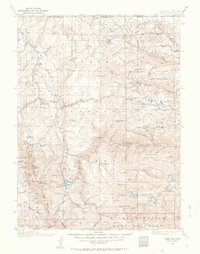
1916 Map of Home
USGS Topo · Published 1963About this map
Manhattan and The Rustic serve as focal points for this survey of the high mountain country straddling the Wyoming-Colorado border. The landscape is defined by the headwaters of the Laramie River and the Cache la Poudre River, where early 20th-century land management is evident through the presence of the Manhattan Ranger Sta and Stub Creek Ranger Sta. The topography transitions from the eastern Boulder Ridge to the high peaks of Rocky Mountain National Park in the south.
Find a feature on this map
56 named features on this map. Tap any name to fly to it.
Don’t see what you’re looking for? This feature index may not catch every label — zoom into the map to look around manually.
Map Details
Editions of this 1916 Home Map
2 editions found

Other maps of this area

1895 · Laramie
USGS Topo · 1:125,000

1902 · Laramie
USGS Topo · 1:125,000

1905 · Sherman
USGS Topo · 1:125,000

1905 · Laramie
USGS Topo · 1:125,000

1905 · Mount Olympus
USGS Topo · 1:62,500

1906 · Medicine Bow
USGS Topo · 1:125,000

1906 · Laramie
USGS Topo · 1:125,000

1907 · Mount Olympus
USGS Topo · 1:62,500

1907 · Livermore
USGS Topo · 1:125,000

1908 · Laramie
USGS Topo · 1:125,000