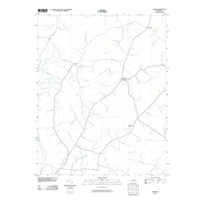
2010 Map of Homer
USGS Topo · Published 2010About this map
Homer and the surrounding rural communities of Logan County are defined by a complex network of waterways and early 21st-century road systems. The landscape is carved by the Mud River and its numerous tributaries, including Motts Lick Creek and Patterson Creek, which create a winding pattern of valleys and ridges. Small settlements like Costelow, Insco, and Chandlers Chapel serve as local anchors, connected by roads often named for local families such as J Will Stewart Rd and R Bailey Rd.
Find a feature on this map
49 named features on this map. Tap any name to fly to it.
Don’t see what you’re looking for? This feature index may not catch every label — zoom into the map to look around manually.
Map Details
Editions of this 2010 Homer Map
This is the sole edition of this map. No revisions or reprints were ever made.
Other maps of this area

1911 · Dunmor
USGS Topo · 1:48,000

1914 · Little Muddy
USGS Topo · 1:62,500

1914 · Dunmor
USGS Topo · 1:62,500

1951 · Auburn
USGS Topo · 1:24,000

1951 · Lewisburg
USGS Topo · 1:24,000

1951 · South Union
USGS Topo · 1:24,000

1951 · Homer
USGS Topo · 1:24,000

1952 · Russellville
USGS Topo · 1:24,000

1952 · Dennis
USGS Topo · 1:24,000

1953 · Dunmor
USGS Topo · 1:24,000