
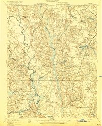
1920 Map of Homeville
USGS Topo · Published 1920About this map
Nottoway River meanders through the heart of this rural coastal plain landscape, defining the local geography alongside vast wetlands like Chinquapin Swamp and Assamoosick Swamp. The 1920 survey reveals a complex network of early 20th-century transportation, where established routes like Plank Road intersect with an intensive railroad system including the Virginian RR and the Claremont Southern. These rails served small agrarian hubs like Sebrell and Homeville, connecting them to larger regional markets.
Find a feature on this map
54 named features on this map. Tap any name to fly to it.
Don’t see what you’re looking for? This feature index may not catch every label — zoom into the map to look around manually.
Map Details
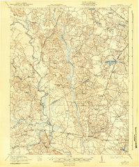
Editions of this 1920 Homeville Map
3 editions found
Other maps of this area

1894 · Petersburg
USGS Topo · 1:62,500

1919 · Jarratt
USGS Topo · 1:62,500

1919 · Surry
USGS Topo · 1:62,500

1919 · Disputanta
USGS Topo · 1:62,500

1919 · Homeville
USGS Topo · 1:48,000

1919 · Boykins
USGS Topo · 1:48,000

1919 · Arringdale
USGS Topo · 1:48,000

1920 · Holland
USGS Topo · 1:62,500

1920 · Ivor
USGS Topo · 1:62,500

1920 · Boykins
USGS Topo · 1:62,500