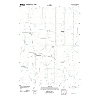
2010 Map of Homeworth
USGS Topo · Published 2010About this map
Middle Branch Sandy Creek and its many tributaries, such as Hugle Run and Conser Run, carve through this landscape of small rural settlements and agricultural plots. The area is defined by a high concentration of established community hubs including Homeworth, New Franklin, and Moultrie. Genealogical interest is particularly high here due to the density of burial grounds, ranging from Bethel Cemetery in the north to the Wilson Field Edwards Cemetery further south.
Find a feature on this map
72 named features on this map. Tap any name to fly to it.
Don’t see what you’re looking for? This feature index may not catch every label — zoom into the map to look around manually.
Map Details
Editions of this 2010 Homeworth Map
This is the sole edition of this map. No revisions or reprints were ever made.
Other maps of this area

1905 · Salineville
USGS Topo · 1:62,500

1909 · Alliance
USGS Topo · 1:62,500

1909 · Lisbon
USGS Topo · 1:62,500

1910 · Carrollton
USGS Topo · 1:62,500

1912 · Carrollton
USGS Topo · 1:62,500

1951 · Canton
USGS Topo · 1:250,000

1952 · Alliance
USGS Topo · 1:24,000

1952 · Damascus
USGS Topo · 1:24,000

1953 · Canton
USGS Topo · 1:250,000

1957 · Canton
USGS Topo · 1:250,000