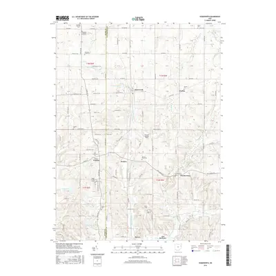
2016 Map of Homeworth
USGS Topo · Published 2016About this map
Homeworth and its surrounding rural landscapes are detailed in this 21st-century record of the Stark Co and Columbiana Co border. The map reveals a dense network of local cemeteries that speak to the area's deep-rooted family histories, including the Fairmount Children's Home Cem and Fairmount Memorial Cem in the northwest, as well as the Reading Cem and Moultrie Chapel Cem further south.
Find a feature on this map
69 named features on this map. Tap any name to fly to it.
Don’t see what you’re looking for? This feature index may not catch every label — zoom into the map to look around manually.
Map Details
Editions of this 2016 Homeworth Map
This is the sole edition of this map. No revisions or reprints were ever made.
Other maps of this area

1905 · Salineville
USGS Topo · 1:62,500

1909 · Alliance
USGS Topo · 1:62,500

1909 · Lisbon
USGS Topo · 1:62,500

1910 · Carrollton
USGS Topo · 1:62,500

1912 · Carrollton
USGS Topo · 1:62,500

1951 · Canton
USGS Topo · 1:250,000

1952 · Alliance
USGS Topo · 1:24,000

1952 · Damascus
USGS Topo · 1:24,000

1953 · Canton
USGS Topo · 1:250,000

1957 · Canton
USGS Topo · 1:250,000