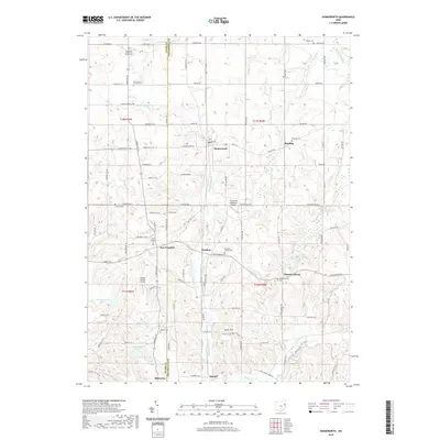
2019 Map of Homeworth
USGS Topo · Published 2019About this map
Middle Br Sandy Cr and its tributaries carve a network through the rolling landscapes of Stark and Columbiana Counties. This 2019 survey captures the quiet agrarian and residential character of the region, anchored by established hamlets like Homeworth, New Franklin, and Moultrie. Small private airfields, including Crosswind Meadows Airport and Sleepy Hollow Airport, are integrated into the countryside alongside local water bodies such as Vandergrift Lake and Woodland Lake.
Find a feature on this map
71 named features on this map. Tap any name to fly to it.
Don’t see what you’re looking for? This feature index may not catch every label — zoom into the map to look around manually.
Map Details
Editions of this 2019 Homeworth Map
This is the sole edition of this map. No revisions or reprints were ever made.
Other maps of this area

1905 · Salineville
USGS Topo · 1:62,500

1909 · Alliance
USGS Topo · 1:62,500

1909 · Lisbon
USGS Topo · 1:62,500

1910 · Carrollton
USGS Topo · 1:62,500

1912 · Carrollton
USGS Topo · 1:62,500

1951 · Canton
USGS Topo · 1:250,000

1952 · Alliance
USGS Topo · 1:24,000

1952 · Damascus
USGS Topo · 1:24,000

1953 · Canton
USGS Topo · 1:250,000

1957 · Canton
USGS Topo · 1:250,000