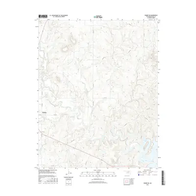
2016 Map of Hominy NE
USGS Topo · Published 2016About this map
Hominy occupies the western edge of this landscape where the prairie begins to meet the complex drainages of Osage County. The terrain is defined by a dense network of winding waterways, including Mahala Creek, Sunset Creek, and Twomile Creek, which carve through the undulating topography before feeding into the larger systems. To the southeast, the waters of Skiatook Lake reach into the valleys, marking a significant transition in the local geography. Human imprint on the land is evidenced by a grid of rural roads such as Cotton Gin Rd and Ballard Rd, reflecting the area's agricultural history. The presence of Penn Creek and Hominy Creek indicates a well-watered region where small-scale ranching and farming have traditionally centered around these riparian corridors.
Find a feature on this map
29 named features on this map. Tap any name to fly to it.
Don’t see what you’re looking for? This feature index may not catch every label — zoom into the map to look around manually.
Map Details
Editions of this 2016 Hominy NE Map
This is the sole edition of this map. No revisions or reprints were ever made.
Other maps of this area

1909 · Pawhuska
USGS Topo · 1:125,000

1910 · Pawhuska
USGS Topo · 1:125,000

1912 · Hominy
USGS Topo · 1:125,000

1915 · Hominy
USGS Topo · 1:125,000

1915 · Hominy
USGS Topo · 1:62,500

1955 · Enid
USGS Topo · 1:250,000

1958 · Enid
USGS Topo · 1:250,000

1964 · Barnsdall
USGS Topo · 1:24,000
1964 · Wynona
USGS Topo · 1:24,000

1966 · Cleveland
USGS Topo · 1:24,000