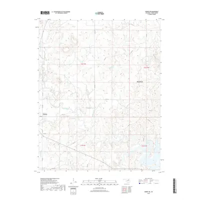
2018 Map of Hominy NE
USGS Topo · Published 2018About this map
The town of Skiatook and the rugged drainage basin of the Osage Hills define this 2018 survey. The landscape is characterized by a complex network of waterways, most notably the northern reaches of Skiatook Lake and the meandering path of Hominy Creek. The terrain reveals a transition from the structured street grid of Hominy in the west to the deeply dissected creek valleys and ridgelines to the east. Evidence of the local agricultural and transport infrastructure is found along Cotton Gin Rd and numerous county routes that navigate the undulating topography. This modern data from the U.S. Geological Survey captures the state of the reservoir and its surrounding tributaries, including Mahala Creek and Penn Cr, before further shoreline developments or environmental shifts. The mapping of 113962 Reservoir alongside traditional named creeks like Sunset Cr and Sand Cr illustrates the continued importance of water management in this part of Oklahoma.
Find a feature on this map
33 named features on this map. Tap any name to fly to it.
Don’t see what you’re looking for? This feature index may not catch every label — zoom into the map to look around manually.
Map Details
Editions of this 2018 Hominy NE Map
This is the sole edition of this map. No revisions or reprints were ever made.
Other maps of this area

1909 · Pawhuska
USGS Topo · 1:125,000

1910 · Pawhuska
USGS Topo · 1:125,000

1912 · Hominy
USGS Topo · 1:125,000

1915 · Hominy
USGS Topo · 1:125,000

1915 · Hominy
USGS Topo · 1:62,500

1955 · Enid
USGS Topo · 1:250,000

1958 · Enid
USGS Topo · 1:250,000

1964 · Barnsdall
USGS Topo · 1:24,000
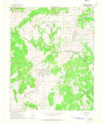
1964 · Wynona
USGS Topo · 1:24,000

1966 · Cleveland
USGS Topo · 1:24,000