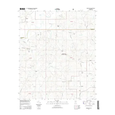
2015 Map of Homochitto
USGS Topo · Published 2015About this map
The Homochitto River meanders across the northern portion of this landscape, carving a wide valley through the heart of the Homochitto National Forest. For genealogists and local historians, this survey is exceptionally rich in burial sites, documenting numerous family and community cemeteries such as Marvin Huff Cem, John Huff Cem, and James Whittington Cem. The small settlements of Bunkley, Mount Olive, and Eunice are scattered along a network of forest roads and local connectors like Casey Hunt Rd and Oxford-Meadville Rd. In the southern reaches, the community of Oxford serves as a hub near Days Creek, while the presence of the Old Mount Vernon Cem and Mount Vernon Cem near the town of Homochitto points toward layers of local settlement history. The terrain is defined by a dense drainage network, including Strong Br and Birdman Br, which feed into the primary river system.
Find a feature on this map
78 named features on this map. Tap any name to fly to it.
Don’t see what you’re looking for? This feature index may not catch every label — zoom into the map to look around manually.
Map Details
Editions of this 2015 Homochitto Map
This is the sole edition of this map. No revisions or reprints were ever made.
Other maps of this area

1953 · Natchez
USGS Topo · 1:250,000

1956 · Natchez
USGS Topo · 1:250,000

1959 · Natchez
USGS Topo · 1:250,000

1961 · Liberty
USGS Topo · 1:62,500

1961 · Crosby
USGS Topo · 1:62,500

1961 · Gloster
USGS Topo · 1:62,500

1962 · Bude
USGS Topo · 1:62,500

1984 · McComb
USGS Topo · 1:100,000

1984 · Woodville
USGS Topo · 1:100,000
1988 · Homochitto
USGS Topo · 1:24,000