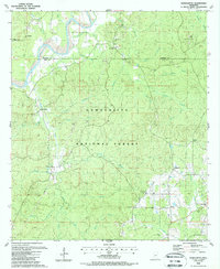
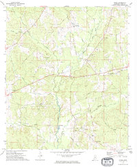
1988 Map of Homochitto
USGS Topo · Published 1988This historical map portrays the area of Homochitto in 1988, primarily covering Amite County as well as portions of Franklin County. Featuring a scale of 1:24000, this map provides a highly detailed snapshot of the terrain, roads, buildings, counties, and historical landmarks in the Homochitto region at the time. Published in 1988, it is the sole known edition of this map.
Find a feature on this map
45 named features on this map. Tap any name to fly to it.
Don’t see what you’re looking for? This feature index may not catch every label — zoom into the map to look around manually.
Map Details
Editions of this 1988 Homochitto Map
This is the sole edition of this map. No revisions or reprints were ever made.
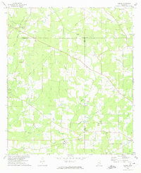
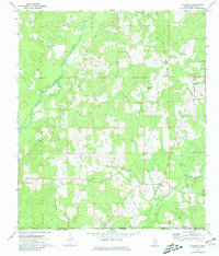
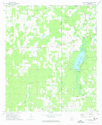
Historical Maps of Bunkley Through Time
12 maps found
1972 Auburn
Amite County, MS
1972 Gillsburg
Amite County, MS
1972 Lake Tangipahoa
Amite County, MS
1972 Peoria
Amite County, MS
1972 Smithdale
Amite County, MS
1972 Terrys Creek
Amite County, MS
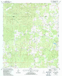
1988 Berwick
Amite County, MS
1988 Bewelcome
Amite County, MS
1988 Busy Corner
Amite County, MS
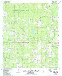
1988 Homochitto
Amite County, MS
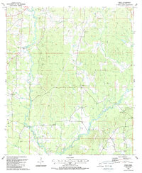
1988 Street
Amite County, MS
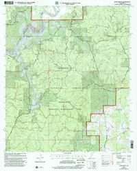
2000 Homochitto
Amite County, MS