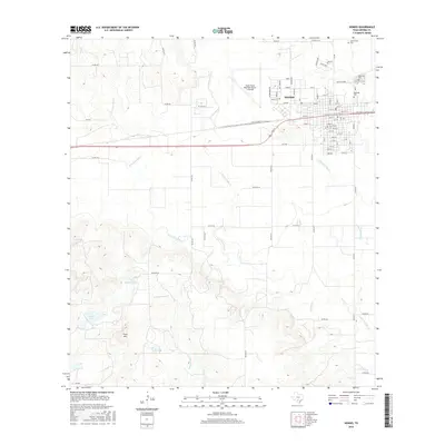
2016 Map of Hondo
USGS Topo · Published 2016About this map
Hondo serves as the focal point of this Medina County landscape, characterized by a structured grid of residential streets and the sprawling South Texas Regional Airport at Hondo. The town's historical roots are visible in its clustered cemeteries, including Cottonwood Cem, Oakwood Cem, and Ingleside Cem, which border the eastern edge of the settlement near Elm Slough. This 2016 survey documents the enduring importance of the Southern Pacific railroad line, which bisects the community and serves as a primary axis for local development.
Find a feature on this map
88 named features on this map. Tap any name to fly to it.
Don’t see what you’re looking for? This feature index may not catch every label — zoom into the map to look around manually.
Map Details
Editions of this 2016 Hondo Map
This is the sole edition of this map. No revisions or reprints were ever made.
Other maps of this area

1928 · Frio Town
USGS Topo · 1:62,500

1954 · San Antonio
USGS Topo · 1:250,000

1956 · Sabinal
USGS Topo · 1:62,500

1956 · New Fountain
USGS Topo · 1:62,500

1957 · San Antonio
USGS Topo · 1:250,000
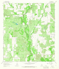
1964 · Biry
USGS Topo · 1:24,000

1964 · Yancey
USGS Topo · 1:24,000

1969 · Sabinal NE
USGS Topo · 1:24,000
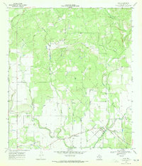
1969 · Quihi
USGS Topo · 1:24,000
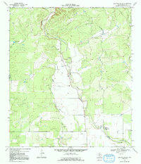
1969 · Mustang Valley
USGS Topo · 1:24,000