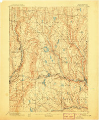
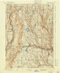
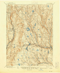
1892 Map of Honesdale
USGS Topo · Published 1907About this map
Honesdale serves as the focal point for this late nineteenth-century portrait of Northeast Pennsylvania, where the anthracite coal economy and early rail networks shaped the landscape. The Delaware and Hudson Canal Company Gravity Railroad winds through the terrain toward Waymart, illustrating the specialized engineering required to move coal across the Moosic Mountains. Nearby, the New York Ontario and Western Railroad links the industrial hubs of Carbondale and Forest City, while smaller settlements like Bethany and Pleasant Mount dot the highlands.
Find a feature on this map
57 named features on this map. Tap any name to fly to it.
Don’t see what you’re looking for? This feature index may not catch every label — zoom into the map to look around manually.
Map Details
Editions of this 1892 Honesdale Map
7 editions found
Other maps of this area

1889 · Scranton
USGS Topo · 1:62,500

1891 · Scranton
USGS Topo · 1:62,500

1892 · Honesdale
USGS Topo · 1:62,500

1892 · Dundaff
USGS Topo · 1:62,500

1893 · Scranton
USGS Topo · 1:62,500

1920 · Long Eddy
USGS Topo · 1:62,500

1920 · Damascus
USGS Topo · 1:62,500

1921 · Long Eddy
USGS Topo · 1:48,000

1923 · Damascus
USGS Topo · 1:62,500

1923 · Long Eddy
USGS Topo · 1:62,500