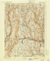
1892 Map of Honesdale
USGS Topo · Published 1941About this map
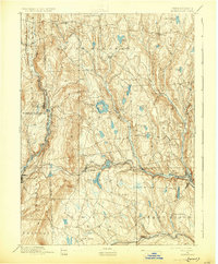
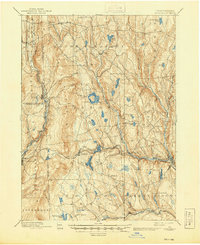
The industrial and agricultural landscape of Wayne County at the end of the nineteenth century is defined by its steep terrain and the critical rail lines that carved through the Pocono Mountains. Honesdale stands as a primary hub, situated near the confluence where the Lackawaxen River begins its descent. The map illustrates a transitional period in transportation, showing the path of the Delaware and Hudson Canal Gravity Railroad as it connects coal regions to the east. Smaller settlements like Bethany, the former county seat, and Waymart are surrounded by a dense network of mountain lakes such as White Oak Pond and Stanton Pond. In the west, the growing anthracite center of Carbondale and the rail-dependent Forest City highlight the region's reliance on the New York Ontario and Western Railroad. The landscape is dotted with hamlets like Prompton and Seelyville, where the geography dictated the placement of early tanneries and mills.
Find a feature on this map
58 named features on this map. Tap any name to fly to it.
Don’t see what you’re looking for? This feature index may not catch every label — zoom into the map to look around manually.
Map Details
Editions of this 1892 Honesdale Map
7 editions found
Other maps of this area

1889 · Scranton
USGS Topo · 1:62,500

1891 · Scranton
USGS Topo · 1:62,500

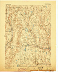
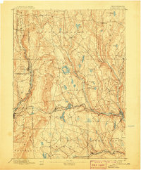
1892 · Honesdale
USGS Topo · 1:62,500

1892 · Dundaff
USGS Topo · 1:62,500

1893 · Scranton
USGS Topo · 1:62,500

1920 · Long Eddy
USGS Topo · 1:62,500

1920 · Damascus
USGS Topo · 1:62,500

1921 · Long Eddy
USGS Topo · 1:48,000

1923 · Damascus
USGS Topo · 1:62,500

1923 · Long Eddy
USGS Topo · 1:62,500