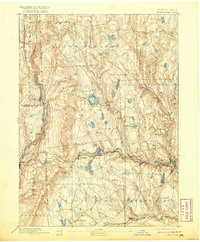
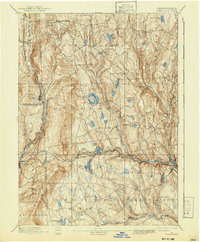
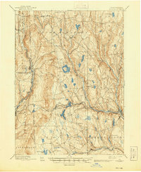
1892 Map of Honesdale
USGS Topo · Published 1920About this map
The industrial and hydraulic landscape of northeastern Pennsylvania is centered here on Honesdale and the surrounding coal-country highlands. At the turn of the century, the region was defined by an intricate web of transportation, most notably the Delaware and Hudson Canal Co Gravity Railroad, which moved anthracite from the Carbondale mines across the ridgeline to the canal terminus. This engineering feat, alongside the New York Ontario and Western Railroad and the Erie and Wyoming Valley Railroad, illustrates a period of intense extraction and transport.
Find a feature on this map
57 named features on this map. Tap any name to fly to it.
Don’t see what you’re looking for? This feature index may not catch every label — zoom into the map to look around manually.
Map Details
Editions of this 1892 Honesdale Map
7 editions found
Other maps of this area

1889 · Scranton
USGS Topo · 1:62,500

1891 · Scranton
USGS Topo · 1:62,500

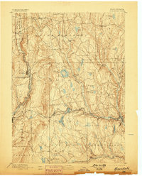
1892 · Honesdale
USGS Topo · 1:62,500

1892 · Dundaff
USGS Topo · 1:62,500

1893 · Scranton
USGS Topo · 1:62,500

1920 · Long Eddy
USGS Topo · 1:62,500

1920 · Damascus
USGS Topo · 1:62,500

1921 · Long Eddy
USGS Topo · 1:48,000

1923 · Damascus
USGS Topo · 1:62,500

1923 · Long Eddy
USGS Topo · 1:62,500