
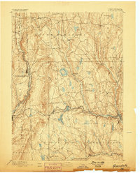
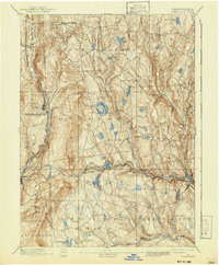
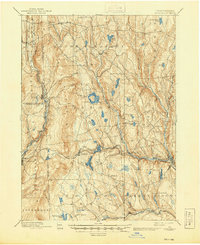
1892 Map of Honesdale
USGS Topo · Published 1892About this map
Honesdale serves as the focal point of this 1890s survey, illustrating a landscape defined by the anthracite coal industry's early transport networks. The most striking industrial feature is the Delaware and Hudson Canal Co Gravity Railroad, which cuts across the terrain through Waymart to move coal toward the canal terminus. This complex system of planes and levels contrasts with the traditional passenger and freight lines of the New York Lake Erie and Western Railroad and the Erie and Wyoming Valley Railroad.
Find a feature on this map
56 named features on this map. Tap any name to fly to it.
Don’t see what you’re looking for? This feature index may not catch every label — zoom into the map to look around manually.
Map Details
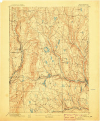
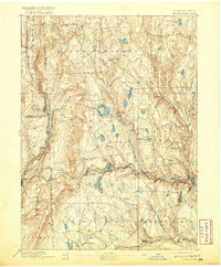
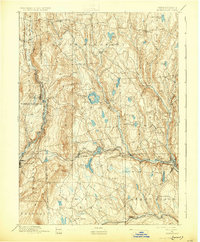
Editions of this 1892 Honesdale Map
7 editions found
Other maps of this area

1889 · Scranton
USGS Topo · 1:62,500

1891 · Scranton
USGS Topo · 1:62,500

1892 · Dundaff
USGS Topo · 1:62,500

1893 · Scranton
USGS Topo · 1:62,500

1920 · Long Eddy
USGS Topo · 1:62,500

1920 · Damascus
USGS Topo · 1:62,500

1921 · Long Eddy
USGS Topo · 1:48,000

1923 · Damascus
USGS Topo · 1:62,500

1923 · Long Eddy
USGS Topo · 1:62,500

1926 · Starrucca
USGS Topo · 1:62,500