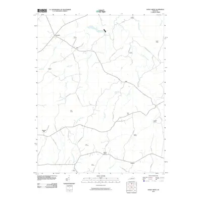
2010 Map of Honey Grove
USGS Topo · Published 2010About this map
Honey Grove and its surrounding hamlets in Christian County define this rural landscape as it appeared in the early 21st century. The map reveals a high concentration of family-named cemeteries, such as Martin Cemetery, Henderson Cemetery, and Steel Cemetery, which serve as vital markers for genealogists tracing local lineage in this part of Kentucky. The terrain is structured by the winding courses of Buck Creek and the South Fork Little River, with prominent landmarks like Pilot Rock and Pine Knob rising above the agricultural fields.
Find a feature on this map
55 named features on this map. Tap any name to fly to it.
Don’t see what you’re looking for? This feature index may not catch every label — zoom into the map to look around manually.
Map Details
Editions of this 2010 Honey Grove Map
This is the sole edition of this map. No revisions or reprints were ever made.
Other maps of this area

1911 · Drakesboro
USGS Topo · 1:48,000

1912 · Nortonville
USGS Topo · 1:62,500

1913 · Drakesboro
USGS Topo · 1:62,500

1950 · Pembroke
USGS Topo · 1:24,000

1951 · Pembroke
USGS Topo · 1:24,000

1951 · Elkton
USGS Topo · 1:24,000

1951 · Hopkinsville
USGS Topo · 1:24,000

1952 · Kelly
USGS Topo · 1:24,000

1952 · Allegre
USGS Topo · 1:24,000

1952 · Honey Grove
USGS Topo · 1:24,000