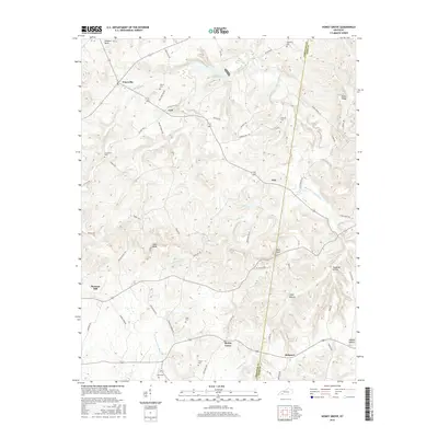
2016 Map of Honey Grove
USGS Topo · Published 2016About this map
The Christian-Todd County boundary splits this rural Kentucky landscape, where agricultural history is preserved in a dense network of family-named landmarks and rural crossroads. Small settlements like Fearsville, Carl, Ovil, and Honey Grove anchor the terrain, while the drainage of the Buck Fork Pond River and S Fork Little River shapes the valley floors. Genealogists will find significant value in the numerous family burial grounds scattered across the quadrangle, including Martin Cem, Weathers Cem, Henderson Cem, and Steel Cem.
Find a feature on this map
63 named features on this map. Tap any name to fly to it.
Don’t see what you’re looking for? This feature index may not catch every label — zoom into the map to look around manually.
Map Details
Editions of this 2016 Honey Grove Map
This is the sole edition of this map. No revisions or reprints were ever made.
Other maps of this area

1911 · Drakesboro
USGS Topo · 1:48,000

1912 · Nortonville
USGS Topo · 1:62,500

1913 · Drakesboro
USGS Topo · 1:62,500

1950 · Pembroke
USGS Topo · 1:24,000

1951 · Pembroke
USGS Topo · 1:24,000

1951 · Elkton
USGS Topo · 1:24,000

1951 · Hopkinsville
USGS Topo · 1:24,000

1952 · Kelly
USGS Topo · 1:24,000

1952 · Allegre
USGS Topo · 1:24,000

1952 · Honey Grove
USGS Topo · 1:24,000