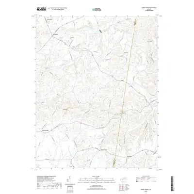
2019 Map of Honey Grove
USGS Topo · Published 2019About this map
Honey Grove and the surrounding borderlands of Christian and Todd counties are defined by a complex network of creeks and ridges that have shaped local settlement for generations. The landscape transitions from the higher elevations of Pilot Rock and Pine Knob in the central reach down toward the drainage basins of the S Fork Little River and Buck Fork Pond River. Family history is deeply etched into the geography through numerous rural burial grounds, including the O'Daniel Cem, Henderson Cem, and Martin Cem, which serve as vital landmarks for genealogists tracing families in the smaller communities of Carl, Ovil, and Fearsville. The roadway system, featuring routes like Rattlesnake Rd and Ovil Rd, follows the natural contours of the terrain, connecting these dispersed hamlets across the Kentucky countryside.
Find a feature on this map
74 named features on this map. Tap any name to fly to it.
Don’t see what you’re looking for? This feature index may not catch every label — zoom into the map to look around manually.
Map Details
Editions of this 2019 Honey Grove Map
This is the sole edition of this map. No revisions or reprints were ever made.
Other maps of this area

1911 · Drakesboro
USGS Topo · 1:48,000

1912 · Nortonville
USGS Topo · 1:62,500

1913 · Drakesboro
USGS Topo · 1:62,500

1950 · Pembroke
USGS Topo · 1:24,000

1951 · Pembroke
USGS Topo · 1:24,000

1951 · Elkton
USGS Topo · 1:24,000

1951 · Hopkinsville
USGS Topo · 1:24,000

1952 · Kelly
USGS Topo · 1:24,000

1952 · Allegre
USGS Topo · 1:24,000

1952 · Honey Grove
USGS Topo · 1:24,000