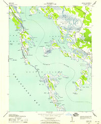
1942 Map of Honga
USGS Topo · Published 1958About this map
Hoopersville and the elongated stretch of Middle Hooper define this 1940s coastal landscape, where the tides of the Chesapeake Bay meet the Honga River. This wartime survey reflects an era of water-dependent commerce, evidenced by landmarks like the Hooper Island Pier and the Cannery near Crapo. The intricate geography of the Eastern Shore is on full display, from the tangled waterways of Hell Hook Marsh to the sheltered waters of Lakes Cove.
Find a feature on this map
99 named features on this map. Tap any name to fly to it.
Don’t see what you’re looking for? This feature index may not catch every label — zoom into the map to look around manually.
Map Details
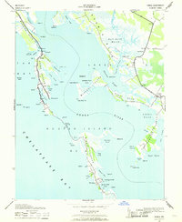
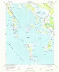
Editions of this 1942 Honga Map
3 editions found
Other maps of this area

1892 · Drum Point
USGS Topo · 1:62,500

1894 · Point Lookout
USGS Topo · 1:62,500

1898 · St. Marys
USGS Topo · 1:125,000

1901 · Drum Point
USGS Topo · 1:62,500

1903 · Bloodsworth Island
USGS Topo · 1:62,500

1905 · Crapo
USGS Topo · 1:62,500

1905 · Drum Point
USGS Topo · 1:62,500

1906 · St. Marys
USGS Topo · 1:125,000

1912 · Point Lookout
USGS Topo · 1:62,500

1937 · Point Lookout
USGS Topo · 1:62,500