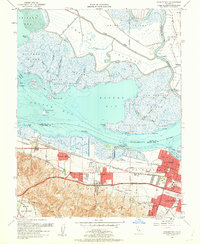
1953 Map of Honker Bay
USGS Topo · Published 1962About this map
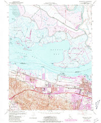
Pittsburg and its industrial waterfront anchor this mid-century survey of the confluence where the Sacramento River meets the Suisun Bay complex. The landscape is defined by a dense network of watercraft channels and low-lying landforms, including Chipps Island, Grizzly Island, and Wheeler Island, many of which are dotted with private gun clubs. On the southern shore, heavy industry and military logistics dominate the era, visible in the footprint of Camp Stoneman and the sprawling Naval Reservation near the foothills of Monte Del Diablo Canal.
Find a feature on this map
67 named features on this map. Tap any name to fly to it.
Don’t see what you’re looking for? This feature index may not catch every label — zoom into the map to look around manually.
Map Details
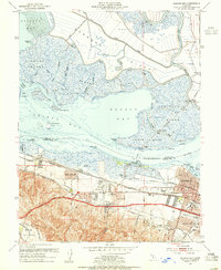
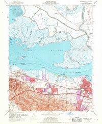
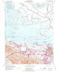
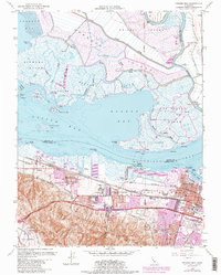
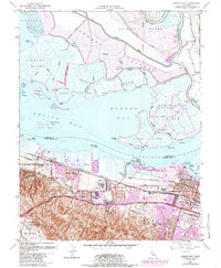
Editions of this 1953 Honker Bay Map
7 editions found
Other maps of this area

1896 · Carquinez Strait
USGS Topo · 1:62,500

1896 · Mt. Diablo
USGS Topo · 1:62,500

1897 · Concord
USGS Topo · 1:62,500

1898 · Karquines
USGS Topo · 1:62,500

1898 · Mt. Diablo
USGS Topo · 1:62,500

1901 · Karquines
USGS Topo · 1:62,500

1902 · Napa
USGS Topo · 1:125,000

1907 · Antioch
USGS Topo · 1:62,500

1908 · Antioch
USGS Topo · 1:62,500

1915 · Concord
USGS Topo · 1:62,500