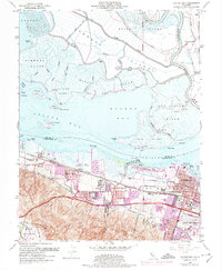
1953 Map of Honker Bay
USGS Topo · Published 1974About this map
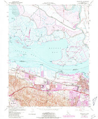
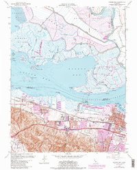
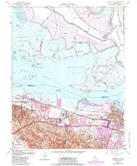
Pittsburg and the industrial waterfront of the Carquinez Strait anchor this mid-century survey, revealing a landscape defined by heavy industry and military logistics. The southern shoreline is a corridor of infrastructure, featuring an Oil Refinery, a Chemical Plant, and the extensive grounds of Camp Stoneman. Residential growth is evident in emerging neighborhoods like Shore Acres and around the Ambrose Sch, while the northern half of the map remains a complex network of marshlands and islands. Large tracts such as Grizzly Island and Wheeler Island are bisected by numerous sloughs and protected by levees, illustrating the reclaimed nature of the Sacramento-San Joaquin River Delta. This era shows the convergence of major rail lines, including the Southern Pacific and the Sacramento Northern, which served the region's productive quarries and manufacturing centers.
Find a feature on this map
67 named features on this map. Tap any name to fly to it.
Don’t see what you’re looking for? This feature index may not catch every label — zoom into the map to look around manually.
Map Details
Editions of this 1953 Honker Bay Map
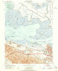
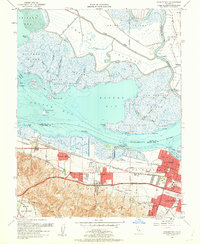
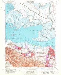
7 editions found
Other maps of this area

1896 · Carquinez Strait
USGS Topo · 1:62,500

1896 · Mt. Diablo
USGS Topo · 1:62,500

1897 · Concord
USGS Topo · 1:62,500

1898 · Karquines
USGS Topo · 1:62,500

1898 · Mt. Diablo
USGS Topo · 1:62,500

1901 · Karquines
USGS Topo · 1:62,500

1902 · Napa
USGS Topo · 1:125,000

1907 · Antioch
USGS Topo · 1:62,500

1908 · Antioch
USGS Topo · 1:62,500

1915 · Concord
USGS Topo · 1:62,500