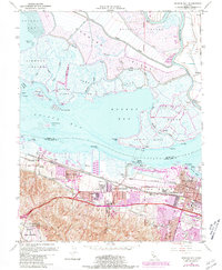
1953 Map of Honker Bay
USGS Topo · Published 1981About this map
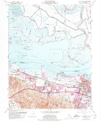
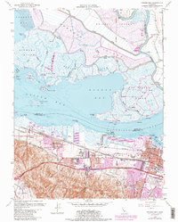
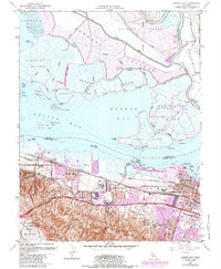
Suisun Bay and Honker Bay dominate this landscape where the Sacramento and San Joaquin rivers meet the tidal marshlands of Solano and Contra Costa counties. The northern shore is a complex network of reclaimed marshlands including Grizzly Island, Simmons Island, and Wheeler Island, divided by natural channels like Montezuma Slough and Roaring River. South of the water, the industrial and residential development of the mid-20th century is evident in the growing corridors of Pittsburg and West Pittsburg. Transportation infrastructure defines the southern shore, with the Southern Pacific and Atchison Topeka and Santa Fe railroads paralleling the waterfront. Notable landmarks include the Naval Naval Weapons Station Concord at the base of Monte Del Diablo, along with several local education centers such as Ambrose Sch and Belair School.
Find a feature on this map
65 named features on this map. Tap any name to fly to it.
Don’t see what you’re looking for? This feature index may not catch every label — zoom into the map to look around manually.
Map Details
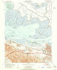
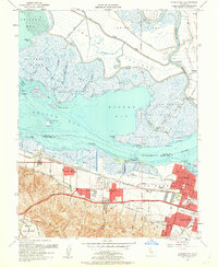
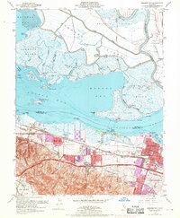
Editions of this 1953 Honker Bay Map
7 editions found
Other maps of this area

1896 · Carquinez Strait
USGS Topo · 1:62,500

1896 · Mt. Diablo
USGS Topo · 1:62,500

1897 · Concord
USGS Topo · 1:62,500

1898 · Karquines
USGS Topo · 1:62,500

1898 · Mt. Diablo
USGS Topo · 1:62,500

1901 · Karquines
USGS Topo · 1:62,500

1902 · Napa
USGS Topo · 1:125,000

1907 · Antioch
USGS Topo · 1:62,500

1908 · Antioch
USGS Topo · 1:62,500

1915 · Concord
USGS Topo · 1:62,500