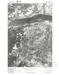
1975 Map of Hood River NE
USGS Topo · Published 1979About this map
Columbia River frontage and the surrounding orchard-rich landscape define this mid-1970s orthophotoquad, which uses aerial imagery to show the land precisely as it appeared from above. The city of Hood River occupies the southern bank where the Hood River flows into the Columbia, showing the footprint of the community before decades of further development. To the south, the settlement of Odell sits within a geometric pattern of agricultural plots, revealing how the valley’s famous fruit-growing industry shaped the local geography. Unlike traditional line-drawn maps, this photo-based survey by the U.S. Geological Survey and Soil Conservation Service captures the texture of the timbered hillsides and the exact density of residential streets, providing an invaluable resource for researchers studying land-use changes in this part of the Pacific Northwest.
Find a feature on this map
4 named features on this map. Tap any name to fly to it.
Don’t see what you’re looking for? This feature index may not catch every label — zoom into the map to look around manually.
Map Details
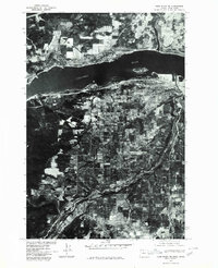
Editions of this 1975 Hood River NE Map
2 editions found
Other maps of this area

1926 · Hood River
USGS Topo · 1:125,000

1929 · Hood River
USGS Topo · 1:125,000

1934 · The Dalles
USGS Topo · 1:125,000

1953 · The Dalles
USGS Topo · 1:250,000

1956 · The Dalles
USGS Topo · 1:250,000

1957 · The Dalles
USGS Topo · 1:250,000

1957 · Willard
USGS Topo · 1:62,500

1957 · White Salmon
USGS Topo · 1:62,500

1957 · Husum
USGS Topo · 1:62,500

1957 · Hood River
USGS Topo · 1:62,500