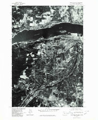
1975 Map of Hood River NE
USGS Topo · Published 1980About this map
Columbia River waters dominate the northern edge of this 1975 orthophotoquad, which uses aerial imagery to document the orchard-heavy landscape south of the Washington-Oregon border. The city of Hood River is captured at a moment of significant mid-century density, showing the grid of streets and industrial structures concentrated along the riverfront and the mouth of the smaller Hood River tributary. Moving inland, the survey reveals a distinctive patchwork of agricultural parcels and irrigation patterns characteristic of this fruit-growing region. Further south, the community of Odell appears as a smaller hub within the valley’s agricultural network. This photographic study, produced by the Geological Survey and the Soil Conservation Service, provides a detailed visual record of land use and development before later modern expansions changed the rural character of the basin.
Find a feature on this map
4 named features on this map. Tap any name to fly to it.
Don’t see what you’re looking for? This feature index may not catch every label — zoom into the map to look around manually.
Map Details
Editions of this 1975 Hood River NE Map
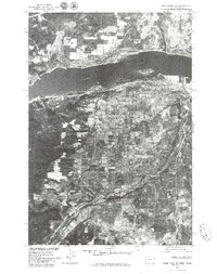
2 editions found
Other maps of this area

1926 · Hood River
USGS Topo · 1:125,000

1929 · Hood River
USGS Topo · 1:125,000

1934 · The Dalles
USGS Topo · 1:125,000

1953 · The Dalles
USGS Topo · 1:250,000

1956 · The Dalles
USGS Topo · 1:250,000

1957 · The Dalles
USGS Topo · 1:250,000

1957 · Willard
USGS Topo · 1:62,500

1957 · White Salmon
USGS Topo · 1:62,500

1957 · Husum
USGS Topo · 1:62,500

1957 · Hood River
USGS Topo · 1:62,500