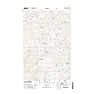
2014 Map of Hoodoo Peak
USGS Topo · Published 2014About this map
Okanogan National Forest defines this high-elevation landscape, where numerous forks and ridges converge toward the Twisp River valley. The map documents a complex system of Forest Service access points, including the Nat For Dev Rd 500 and W Buttermilk Creek Rd, which provide entry to the back-country terrain of Hoodoo Peak and Mission Peak. Water is a central feature of the topography, with Black Pine Lake serving as a primary landmark alongside the Blackpine Lake Campground. This 2014 survey illustrates the intricate drainage patterns of Buttermilk Cr and its various forks as they carve through Scaffold Ridge and Newby Ridge, reflecting the management of these public lands in the early 21st century.
Find a feature on this map
33 named features on this map. Tap any name to fly to it.
Don’t see what you’re looking for? This feature index may not catch every label — zoom into the map to look around manually.
Map Details
Editions of this 2014 Hoodoo Peak Map
This is the sole edition of this map. No revisions or reprints were ever made.
Other maps of this area

1899 · Methow
USGS Topo · 1:125,000

1901 · Methow
USGS Topo · 1:125,000

1955 · Concrete
USGS Topo · 1:250,000

1958 · Concrete
USGS Topo · 1:250,000

1962 · Concrete
USGS Topo · 1:250,000
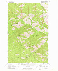
1968 · Hungry Mtn
USGS Topo · 1:24,000
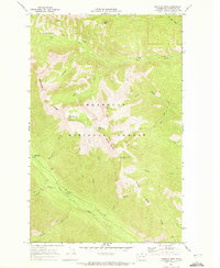
1969 · Midnight Mtn.
USGS Topo · 1:24,000
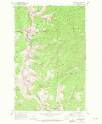
1969 · Martin Peak
USGS Topo · 1:24,000
1969 · Prince Creek
USGS Topo · 1:24,000
1969 · Thompson Ridge
USGS Topo · 1:24,000