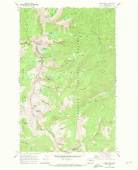
1969 Map of Martin Peak
USGS Topo · Published 1972About this map
Sawtooth Ridge and Raven Ridge dominate this high-elevation terrain along the border of Okanogan and Chelan counties in the late 1960s. The landscape is defined by its dramatic alpine features, including several glacial cirques containing high lakes such as Libby Lake, Crater Lake, and Upper Eagle Lake. A network of historic pack trails weaves through the basins, providing the primary access to notable summits like Mt Bigelow and Martin Peak. The map records a wilderness-oriented geography where travel was dictated by high mountain gaps like Hoodoo Pass and Horsehead Pass. In the lower drainages, water features such as Foggy Dew Falls and the headwaters of Libby Creek and Prince Creek reveal the complex watershed system of the Okanogan National Forest and Wenatchee National Forest.
Find a feature on this map
41 named features on this map. Tap any name to fly to it.
Don’t see what you’re looking for? This feature index may not catch every label — zoom into the map to look around manually.
Map Details
Editions of this 1969 Martin Peak Map
2 editions found
Other maps of this area

1899 · Methow
USGS Topo · 1:125,000

1901 · Methow
USGS Topo · 1:125,000

1955 · Concrete
USGS Topo · 1:250,000

1958 · Concrete
USGS Topo · 1:250,000

1962 · Concrete
USGS Topo · 1:250,000

1968 · South Navarre Peak
USGS Topo · 1:24,000
1968 · Big Goat Mtn
USGS Topo · 1:24,000
1968 · Oss Peak
USGS Topo · 1:24,000
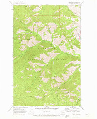
1968 · Hungry Mtn
USGS Topo · 1:24,000
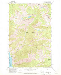
1969 · Prince Creek
USGS Topo · 1:24,000