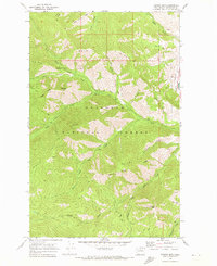
1968 Map of Hungry Mtn
USGS Topo · Published 1973About this map
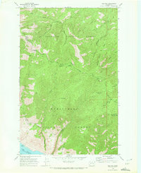
Okanogan National Forest dominates this high-elevation terrain in the late 1960s, defined by a complex network of ridges and deep drainages. The landscape is oriented around Gold Ridge and the Methow Valley, where the Methow River flows along the eastern boundary. The map captures a moment when resource management and backcountry recreation were the primary human imprints, evidenced by the scattered Borrow Pit locations and several Gravel Pits used for maintenance.
Find a feature on this map
35 named features on this map. Tap any name to fly to it.
Don’t see what you’re looking for? This feature index may not catch every label — zoom into the map to look around manually.
Map Details
Editions of this 1968 Hungry Mtn Map
2 editions found
Other maps of this area

1899 · Methow
USGS Topo · 1:125,000

1901 · Methow
USGS Topo · 1:125,000

1955 · Concrete
USGS Topo · 1:250,000

1958 · Concrete
USGS Topo · 1:250,000

1962 · Concrete
USGS Topo · 1:250,000

1968 · South Navarre Peak
USGS Topo · 1:24,000
1968 · Methow
USGS Topo · 1:24,000
1968 · Cooper Mtn
USGS Topo · 1:24,000
1968 · Oss Peak
USGS Topo · 1:24,000
1969 · Martin Peak
USGS Topo · 1:24,000