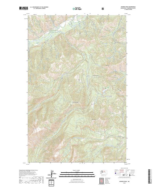
2023 Map of Hoodoo Peak
USGS Topo · Published 2023About this map
Okanogan National Forest provides the primary landscape for this survey, which captures the high-elevation drainage systems of the eastern Cascades. The map is defined by the sharp convergence of several significant waterways, including the Twisp River in the north and the multi-forked systems of Buttermilk Creek and Libby Creek. This area is dominated by the protected terrain of the Lake Chelan-Sawtooth Wilderness, where numerous peaks over 8,000 feet, such as Hoodoo Peak and Spirit Mtn, overlook the narrow valleys. A network of primitive trails, such as the Oval Peak Trl and East Fork Buttermilk Trl, facilitates movement through these high basins. The inclusion of Blackpine Lake and Pine Lake shows the rare alpine water bodies that punctuate the steep, forested ridges like Newby Ridge and Scaffold Ridge.
Find a feature on this map
56 named features on this map. Tap any name to fly to it.
Don’t see what you’re looking for? This feature index may not catch every label — zoom into the map to look around manually.
Map Details
Editions of this 2023 Hoodoo Peak Map
This is the sole edition of this map. No revisions or reprints were ever made.
Other maps of this area

1899 · Methow
USGS Topo · 1:125,000

1901 · Methow
USGS Topo · 1:125,000

1955 · Concrete
USGS Topo · 1:250,000

1958 · Concrete
USGS Topo · 1:250,000

1962 · Concrete
USGS Topo · 1:250,000
1968 · Hungry Mtn
USGS Topo · 1:24,000
1969 · Midnight Mtn.
USGS Topo · 1:24,000
1969 · Martin Peak
USGS Topo · 1:24,000
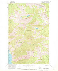
1969 · Prince Creek
USGS Topo · 1:24,000
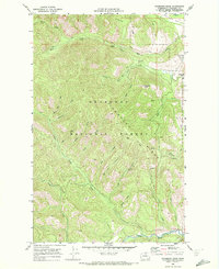
1969 · Thompson Ridge
USGS Topo · 1:24,000