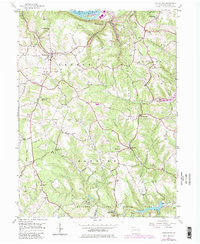
1954 Map of Hookstown
USGS Topo · Published 1979About this map
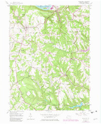
Hookstown and the southern banks of the Ohio River anchor this mid-century portrait of Beaver County. The landscape is defined by the steep valleys of Mill Creek and Service Creek, where small rural communities like Shippingport, McCleary, and Mechanicsburg are connected by winding country roads. To the south, the sprawling grounds of Raccoon Creek State Park encompass the State Park Headquarters, a Boathouse, and the waters of Traverse Creek.
Find a feature on this map
42 named features on this map. Tap any name to fly to it.
Don’t see what you’re looking for? This feature index may not catch every label — zoom into the map to look around manually.
Map Details
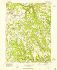
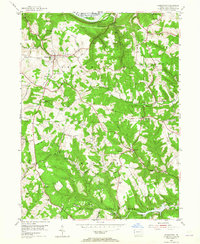
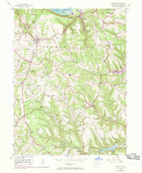
Editions of this 1954 Hookstown Map
5 editions found
Other maps of this area

1901 · Beaver
USGS Topo · 1:62,500

1904 · Wellsville
USGS Topo · 1:62,500

1904 · Steubenville
USGS Topo · 1:62,500

1904 · Beaver
USGS Topo · 1:62,500

1904 · Burgettstown
USGS Topo · 1:62,500

1906 · Burgettstown
USGS Topo · 1:62,500

1935 · Steubenville
USGS Topo · 1:62,500

1937 · Wellsville
USGS Topo · 1:62,500

1942 · Steubenville
USGS Topo · 1:62,500

1944 · Wellsville
USGS Topo · 1:62,500
Featured Places
- Hookstown, PA
- Hanover Township, PA
- Raccoon Township, PA
- Kendall, Hanover Township
- McCleary, Raccoon Township