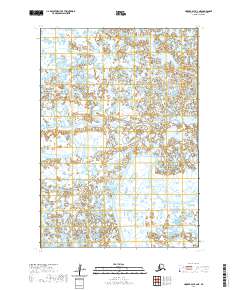
2020 Map of Hooper Bay B-2 NE
USGS Topo · Published 2020About this map
Kashunuk River and the Keoklevik River dominate this low-lying coastal landscape in the Kusilvak Census Area of Alaska. This 2020 US Topo edition illustrates the intricate drainage patterns of the Yukon-Kuskokwim Delta, where water and land are inextricably linked. The survey reveals a complex network of thousands of small, unnamed ponds and seasonal wetlands that characterize this subarctic environment. Navigational markers like the meandering curves of these two major rivers provide the primary geographic context for this remote stretch of the delta, reflecting the terrain's resistance to permanent development or road infrastructure. The absence of settlements or named landmarks outside of these waterways emphasizes the seasonally dynamic nature of the region's hydrology and its importance as a natural habitat within the delta's vast alluvial system.
Find a feature on this map
6 named features on this map. Tap any name to fly to it.
Don’t see what you’re looking for? This feature index may not catch every label — zoom into the map to look around manually.
Map Details
Editions of this 2020 Hooper Bay B-2 NE Map
This is the sole edition of this map. No revisions or reprints were ever made.
Other maps of this area

1951 · Hooper Bay
USGS Topo · 1:250,000
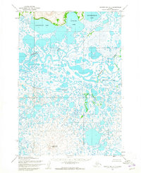
1952 · Hooper Bay C-1
USGS Topo · 1:63,360

1953 · Hooper Bay
USGS Topo · 1:250,000
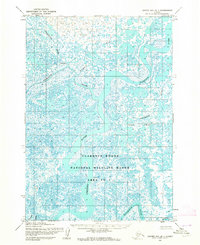
1953 · Hooper Bay B-1
USGS Topo · 1:63,360
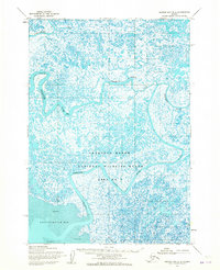
1953 · Hooper Bay B-2
USGS Topo · 1:63,360

1953 · Hooper Bay C-2
USGS Topo · 1:63,360

1964 · Hooper Bay
USGS Topo · 1:250,000
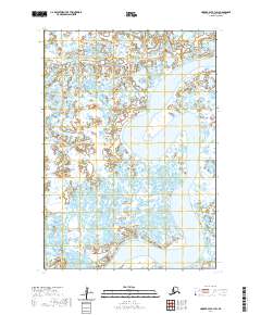
2020 · Hooper Bay B-1 SW
USGS Topo · 1:25,000
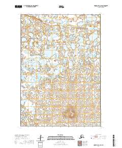
2020 · Hooper Bay C-1 SW
USGS Topo · 1:25,000
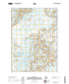
2020 · Hooper Bay B-2 SE
USGS Topo · 1:25,000