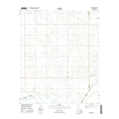
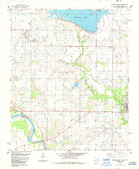
2016 Map of Hooper
USGS Topo · Published 2016About this map
The Red River defines the southern boundary of this borderlands survey, where the rolling plains of Cotton County, Oklahoma, meet Clay County, Texas. This area is characterized by a network of drainage systems, most notably Whiskey Cr, which winds south toward the river. The small settlement of Hooper serves as a central point in a landscape otherwise dominated by a grid of agricultural section roads such as Lone Star Rd.
Find a feature on this map
33 named features on this map. Tap any name to fly to it.
Don’t see what you’re looking for? This feature index may not catch every label — zoom into the map to look around manually.
Map Details
Editions of this 2016 Hooper Map
This is the sole edition of this map. No revisions or reprints were ever made.
Other maps of this area

1955 · Lawton
USGS Topo · 1:250,000

1957 · Hastings
USGS Topo · 1:62,500

1957 · Randlett
USGS Topo · 1:62,500

1962 · Walters
USGS Topo · 1:62,500

1962 · Temple
USGS Topo · 1:62,500
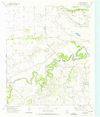
1972 · Charlie
USGS Topo · 1:24,000

1984 · Hooper
USGS Topo · 1:24,000
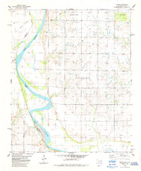
1984 · Irving
USGS Topo · 1:24,000
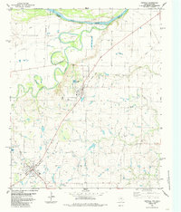
1984 · Petrolia
USGS Topo · 1:24,000
1984 · Waurika West
USGS Topo · 1:24,000