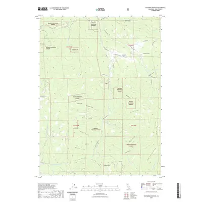
2022 Map of Hoosimbim Mountain
USGS Topo · Published 2022About this map
Hoosimbim Mtn and the Hayfork Divide anchor this high-elevation portion of Trinity County, where the landscape is defined by the intersections of the Shasta National Forest and Trinity National Forest. The map details a complex drainage system flowing through deep cuts like Box Canyon, with water moving through Reading Creek and Browns Creek. These waterways are flanked by prominent topographic features such as Horse Mane Ridge and Lone Springs Ridge.
Find a feature on this map
51 named features on this map. Tap any name to fly to it.
Don’t see what you’re looking for? This feature index may not catch every label — zoom into the map to look around manually.
Map Details
Editions of this 2022 Hoosimbim Mountain Map
This is the sole edition of this map. No revisions or reprints were ever made.
Other maps of this area

1890 · Red Bluff
USGS Topo · 1:250,000

1894 · Red Bluff
USGS Topo · 1:250,000

1909 · Big Bar
USGS Topo · 1:96,000

1913 · Weaverville
USGS Topo · 1:125,000

1915 · Big Bar and Vicinity
USGS Topo · 1:250,000

1931 · Hoaglin
USGS Topo · 1:96,000

1935 · Hoaglin
USGS Topo · 1:125,000

1950 · Weaverville
USGS Topo · 1:62,500

1951 · Hayfork
USGS Topo · 1:62,500

1951 · Chanchelulla Peak
USGS Topo · 1:62,500