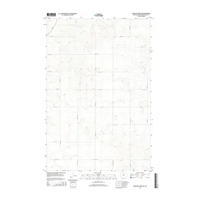
2014 Map of Hootowl Creek SW
USGS Topo · Published 2014About this map
Elk Cr and Dry Cr carve through this section of Golden Valley County, forming a drainage network that defines the local topography. This 2014 survey captures a rural landscape dominated by a precise grid of sectional roads, including 163rd Ave SW and 22nd St SW, which serve the expansive agricultural tracts of Elmwood Township. Nd-16 provides the primary north-south corridor through the northwestern corner of the quadrangle, while Mosher Rd and several county routes like Cr-5 connect the outlying farmsteads. In the southern reaches, Little Beaver Cr crosses the terrain, highlighting the sparse but vital water resources in this part of North Dakota. The map is a testament to the enduring township-and-range system, where small intermittent streams and a web of gravel roads constitute the primary landmarks of the high plains.
Find a feature on this map
19 named features on this map. Tap any name to fly to it.
Don’t see what you’re looking for? This feature index may not catch every label — zoom into the map to look around manually.
Map Details
Editions of this 2014 Hootowl Creek SW Map
This is the sole edition of this map. No revisions or reprints were ever made.
Other maps of this area

1909 · Glendive
USGS Topo · 1:250,000

1953 · Miles City
USGS Topo · 1:250,000

1953 · Dickinson
USGS Topo · 1:250,000

1953 · Watford City
USGS Topo · 1:250,000

1954 · Glendive
USGS Topo · 1:250,000

1957 · Dickinson
USGS Topo · 1:250,000

1957 · Miles City
USGS Topo · 1:250,000

1957 · Glendive
USGS Topo · 1:250,000

1957 · Watford City
USGS Topo · 1:250,000

1958 · Miles City
USGS Topo · 1:250,000
Featured Places
- Elmwood Township, ND
- Saddle Butte Township, ND
- Delhi Township, ND
- Elk Creek Township, ND
- Golden Valley County, ND