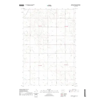
2017 Map of Hootowl Creek SW
USGS Topo · Published 2017About this map
Elk Cr and Dry Cr wind through the township boundaries of Golden Valley County, carving the high plains landscape within t142n r105w and t142n r104w. This 2017 survey reflects the persistent grid of the Public Land Survey System, where section lines are traced by a network of rural routes including 21st St SW and 25th St SW. The terrain is defined by the headwaters of Little Beaver Cr in the southwest, illustrating the drainage patterns of the Little Missouri River basin. While primarily agricultural and open, the map details the subtle infrastructure of North Dakota's borderlands, showing the placement of isolated residences and the connectivity provided by local arteries like Mosher Rd and Bonnie View Rd.
Find a feature on this map
17 named features on this map. Tap any name to fly to it.
Don’t see what you’re looking for? This feature index may not catch every label — zoom into the map to look around manually.
Map Details
Editions of this 2017 Hootowl Creek SW Map
This is the sole edition of this map. No revisions or reprints were ever made.
Other maps of this area

1909 · Glendive
USGS Topo · 1:250,000

1953 · Miles City
USGS Topo · 1:250,000

1953 · Dickinson
USGS Topo · 1:250,000

1953 · Watford City
USGS Topo · 1:250,000

1954 · Glendive
USGS Topo · 1:250,000

1957 · Dickinson
USGS Topo · 1:250,000

1957 · Miles City
USGS Topo · 1:250,000

1957 · Glendive
USGS Topo · 1:250,000

1957 · Watford City
USGS Topo · 1:250,000

1958 · Miles City
USGS Topo · 1:250,000
Featured Places
- Elmwood Township, ND
- Saddle Butte Township, ND
- Delhi Township, ND
- Elk Creek Township, ND
- Golden Valley County, ND