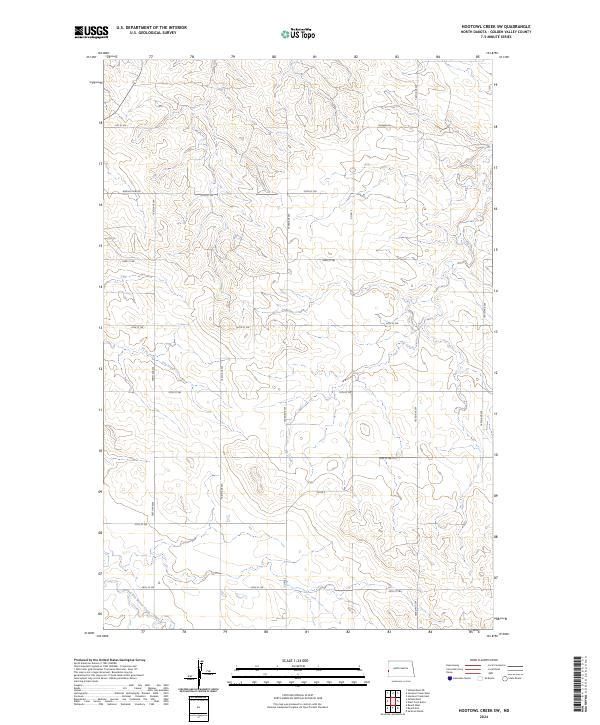
2024 Map of Hootowl Creek SW
USGS Topo · Published 2024About this map
Elk Creek and Dry Creek carve through the sectioned plains of Golden Valley County, illustrating the drainage patterns of this prairie landscape. The area is defined by a strict grid of section-line roads, including 168th Ave SW and 25th St SW, which reflect the legacy of the Public Land Survey System in western North Dakota. To the south, the winding course of Little Beaver Creek provides a contrast to the geometric precision of the surrounding property boundaries and access routes. Local connectivity is maintained through a network of rural routes such as Co Rd 5 and Bonnie View Rd, which facilitate transport across the townships of T141N and T142N. This topographic study captures a sparsely settled agricultural region where watercourses dictate the subtle variations in terrain against the dominant human-imposed grid.
Find a feature on this map
22 named features on this map. Tap any name to fly to it.
Don’t see what you’re looking for? This feature index may not catch every label — zoom into the map to look around manually.
Map Details
Editions of this 2024 Hootowl Creek SW Map
This is the sole edition of this map. No revisions or reprints were ever made.
Other maps of this area

1909 · Glendive
USGS Topo · 1:250,000

1953 · Miles City
USGS Topo · 1:250,000

1953 · Dickinson
USGS Topo · 1:250,000

1953 · Watford City
USGS Topo · 1:250,000

1954 · Glendive
USGS Topo · 1:250,000

1957 · Dickinson
USGS Topo · 1:250,000

1957 · Miles City
USGS Topo · 1:250,000

1957 · Glendive
USGS Topo · 1:250,000

1957 · Watford City
USGS Topo · 1:250,000

1958 · Miles City
USGS Topo · 1:250,000
Featured Places
- Saddle Butte Township, ND
- Delhi Township, ND
- Elk Creek Township, ND
- Elmwood Township, ND
- Golden Valley County, ND