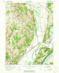
1954 Map of Hooven
USGS Topo · Published 1965About this map
The Great Miami River and Whitewater River converge near the Ohio River in this mid-century survey of the tri-state border region. Industrial infrastructure is prominent on the eastern bank, centered around Hooven where a large Gas Refinery and numerous gravel pits define the local economy. The landscape is a complex network of transportation and river-driven commerce, anchored by Valley Junction and the heavy rail lines of the New York Central Road and Baltimore and Ohio.
Find a feature on this map
65 named features on this map. Tap any name to fly to it.
Don’t see what you’re looking for? This feature index may not catch every label — zoom into the map to look around manually.
Map Details
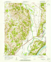
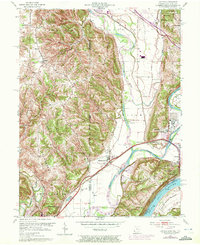
Editions of this 1954 Hooven Map
Other maps of this area

1914 · West Cincinnati
USGS Topo · 1:62,500

1915 · Lawrenceburg
USGS Topo · 1:48,000

1915 · Harrison
USGS Topo · 1:48,000

1915 · Hamilton
USGS Topo · 1:62,500

1917 · Hamilton
USGS Topo · 1:62,500

1928 · Lawrenceburg
USGS Topo · 1:62,500

1932 · Lawrenceburg
USGS Topo · 1:62,500

1943 · Aurora
USGS Topo · 1:24,000

1943 · Hooven
USGS Topo · 1:24,000

1943 · Guilford
USGS Topo · 1:24,000